Google Earth Helps Archaeologists Discover Massive Monument in Petra
A massive monument has been discovered buried under sands at the Petra World Heritage site in southern Jordan.

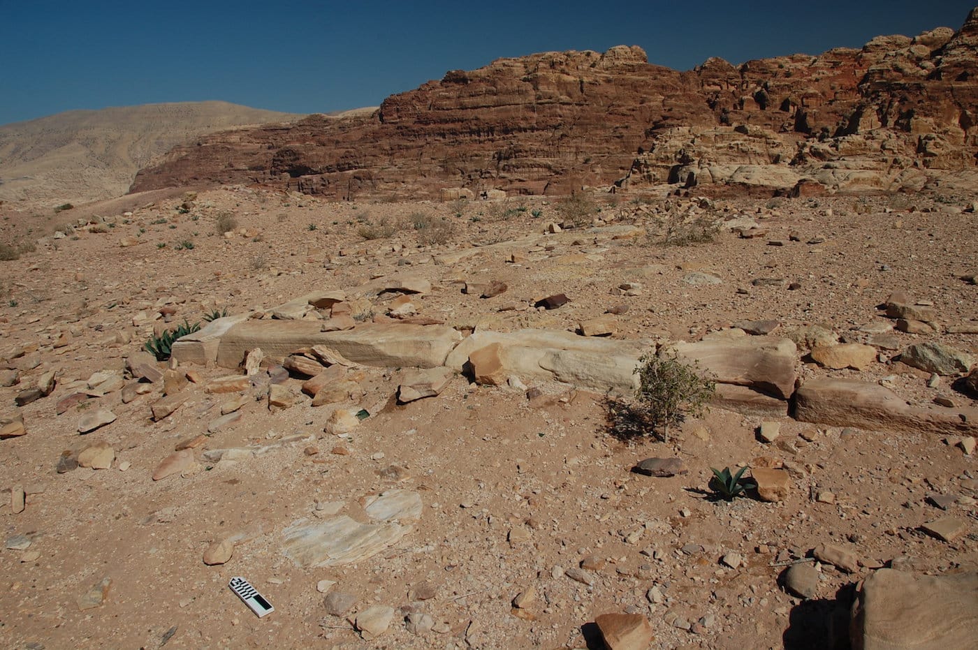
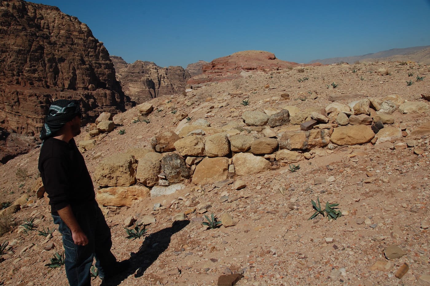
A massive monument has been discovered buried under sands at the Petra World Heritage site in southern Jordan. Roughly as long as an Olympic swimming pool and twice as wide, archaeologists describe the monument as “hiding in plain sight.”
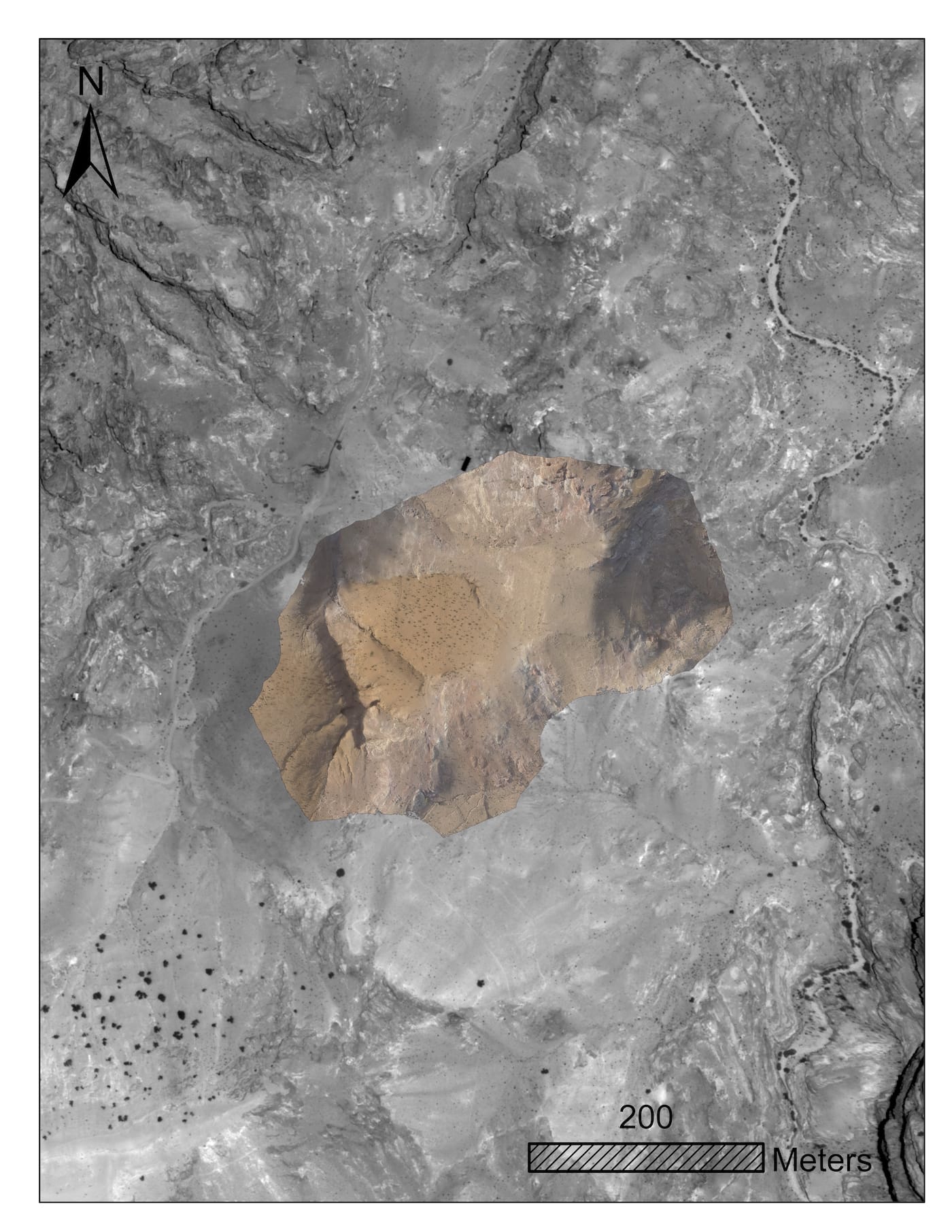
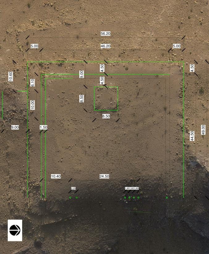
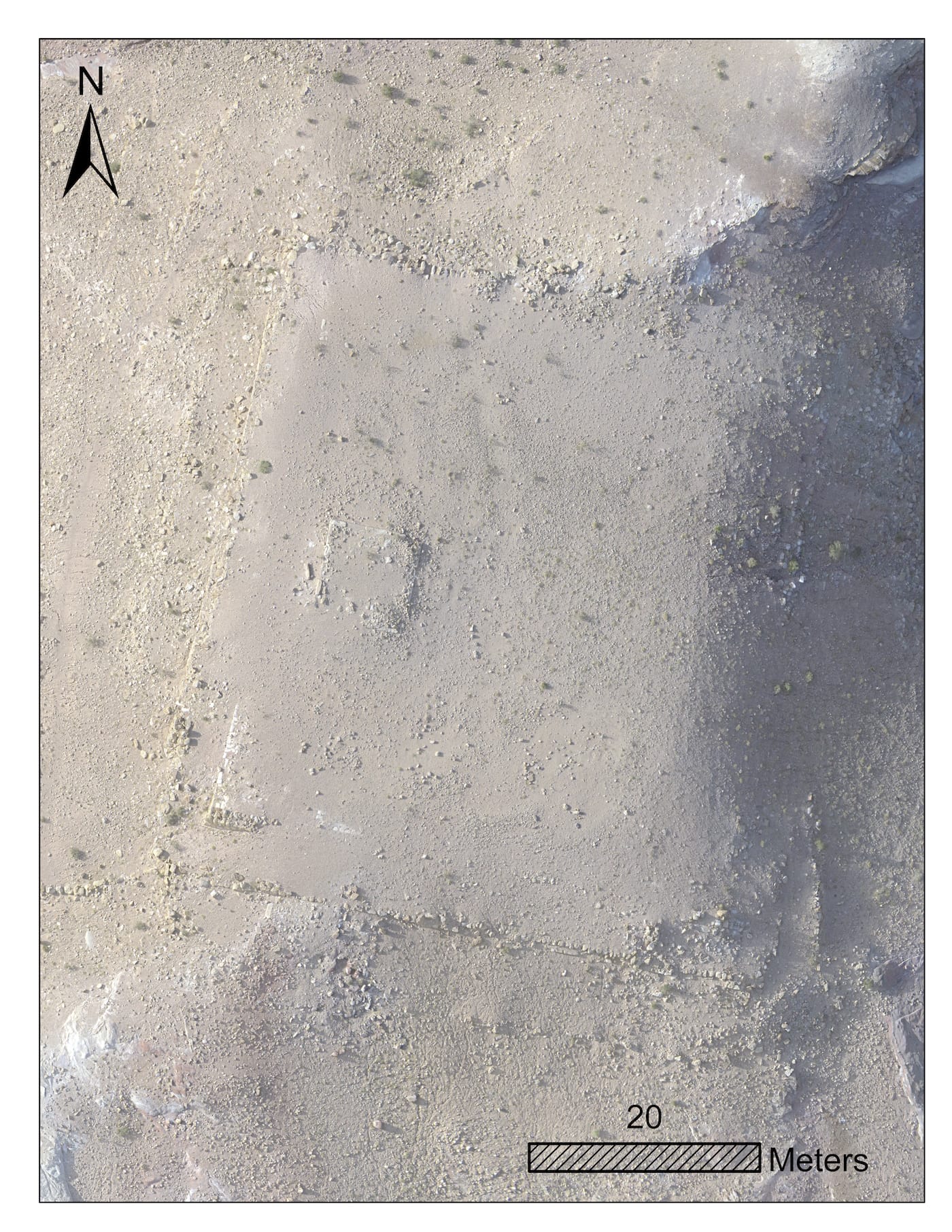
Archaeologists Sarah Parcak, of the University of Alabama, Birmingham, and Christopher Tuttle, executive director of the Council of American Overseas Research Centers, used Google Earth’s high-resolution satellite imagery, as well as aerial drone photography and ground surveys, to find and document the structure. A new study published in the Bulletin of the American Schools of Oriental Research details their findings. Consisting of a 184-by-161-foot platform enclosing a slightly smaller platform, topped with a small building and approached by a monumental façade, the monument is located only about a half mile south of Petra’s center.
Also known as the Rose City, after the color of its red sandstone architecture, Petra is believed to have been founded in the mid-second century BC as the capital of the Nabataean Arab tribe. Until the city’s decline at the end of the Byzantine period in seventh century AD, the Nabataeans maintained Petra as a major caravan trading hub, known for its rock-cut architecture and advanced water conduit system. The city was largely unknown to the Western world until Swiss explorer Johann Burckhardt arrived in 1812, initiating centuries of excavations. Archaeologists have documented thousands monuments within the ancient city center as well in the surrounding mountains, including, most famously, Petra’s Treasury.
Researchers said the new discovery is unlike any other known monument in the ancient city. It’s yet to be excavated completely, but pottery on the surface suggests it dates back to the mid-second century BCE, when Petra was flourishing as the Nabataean capital. The platform, which would have originally been paved with flagstones and flanked with columns, likely served a ceremonial purpose.
“I’m sure that over the course of two centuries of research [in Petra], someone had to know [this site] was there, but it’s never been systematically studied or written up,” Tuttle told National Geographic. “I’ve worked in Petra for 20 years, and I knew that something was there, but it’s certainly legitimate to call this a discovery.”
The ancient city is one of the new seven wonders of the world and a UNESCO World Heritage site, visited yearly by half a million tourists. The new discovery, the researchers write, “suggests that additional potential major structures may be found there.”