Art Review
Take a Trip Through Ursula K. Le Guin’s Conjured Worlds
The fantasy and science fiction writer found her way into her invented worlds by making maps and then mentally exploring them.
Art Review
The fantasy and science fiction writer found her way into her invented worlds by making maps and then mentally exploring them.
News
The platform spotlights dozens of studios, galleries, museums, and other cultural spaces in an effort to foster cross-borough connections.
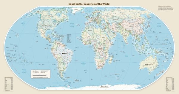
News
The current standard misrepresents the continent’s scale, which activists argue reinforces misconceptions about its significance.
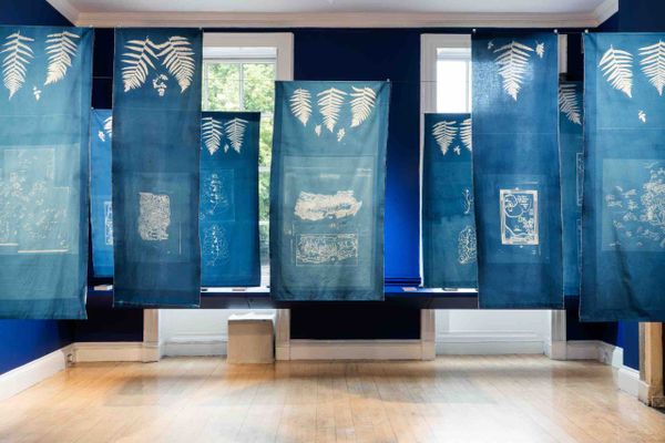
Art
The Brazilian artist practices an erasure poetry upon textiles and assembles the results into evocative, semi-sculptural configurations.
News
In recent years, local activists have pushed to change the names of federal sites featuring the dehumanizing “s-word.”
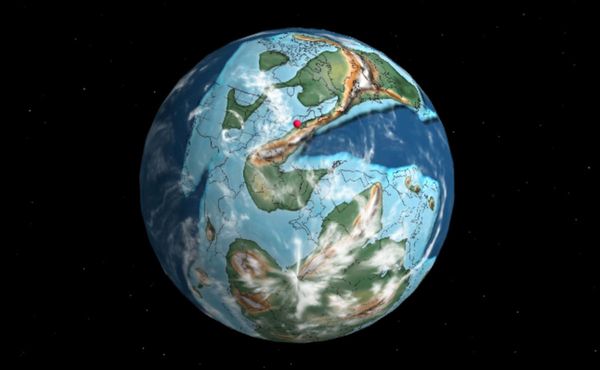
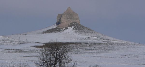
News
A new online tool allows users to scroll through geologic time, using their own location as a pinpoint to orient themselves in the shifting land masses.
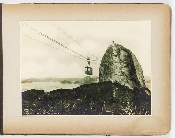
Art
A new digital atlas, imagineRio, reveals how the city’s urban evolution has unfolded from its 16th century roots to the present day.
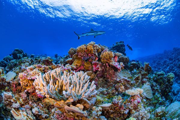
News
The project utilized 2.25 million satellite images of shallow coral reefs around the globe.
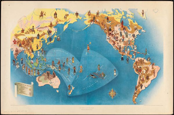
Art
“Peoples of the Pacific” is one of six murals that was displayed at the influential “Pageant of the Pacific” Golden Gate International Exposition.
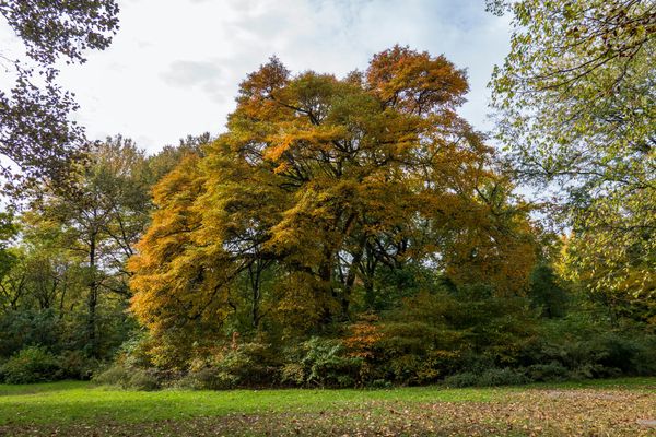
Books
Part botanical history, part social history, Allison C. Meier’s map provides a welcome alternative route through New York’s urban jungle.
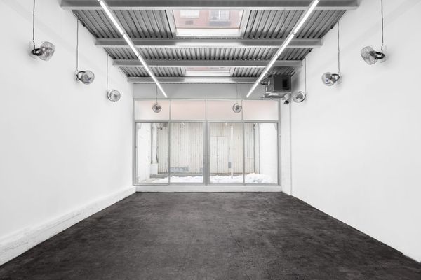
Art
The graphite floor map can be understood as a post-apocalyptic landscape, a commentary on artistic labor, or a parable about COVID-era confinement.
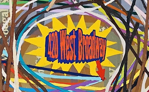
Art
Loren Munk’s “SOHO Map” offers a visual record of a densely peopled art world.