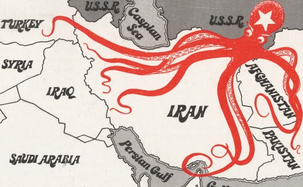
Art
Mapping Non-European Visions of the World
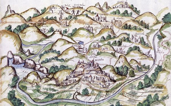
Maps drawn by Indigenous artists at the behest of the Spanish in the 16th century illustrate the amalgamation of visual traditions during the early years of contact between Indigenous groups and colonizers.