Art
How an Imaginary Island Stayed on Maps for Five Centuries
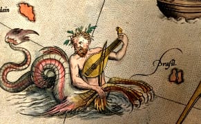
A tiny blot of a landmass off the western coast of Ireland is curiously labeled "Imaginary Isle of O Brazil" on cartographer Thomas Jefferys's 1768 "Chart of the Atlantic Ocean." A 21st-century viewer might wonder: why include a fictional island on a map of the known world?


