How Cartography Helped Make Colonial Empires
If you want to claim a territory, it's good to have a map to show what's yours. Defining Lines: Cartography in the Age of Empire at the Nasher Museum of Art at Duke University examines how maps were a form of political control and public perception by Western colonial powers from the 16th and 20th c

If you want to claim a territory, it’s good to have a map to show what’s yours. Defining Lines: Cartography in the Age of Empire at the Nasher Museum of Art at Duke University examines how maps were a form of political control and public perception by Western colonial powers from the 16th and 20th centuries.
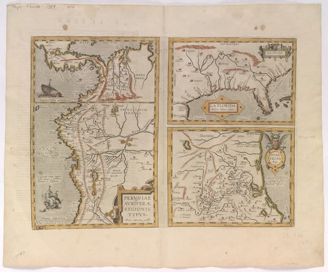
As noted in the exhibition text on the accompanying website, “maps were rarely, if ever, simple tools used for getting from place to place.” Instead, they were often about cutting up the world, sometimes places not even seen by the cartographers, into claims. The exhibition focuses on maps of Africa, India, and South America, all curated by undergraduates in the BorderWork(s) Humanities Lab at Duke’s Franklin Humanities Institute. It was created as something of a historical response to Lines of Control: Partition as a Productive Space, which features artists from South Asia responding to different contemporary manifestations of borders.
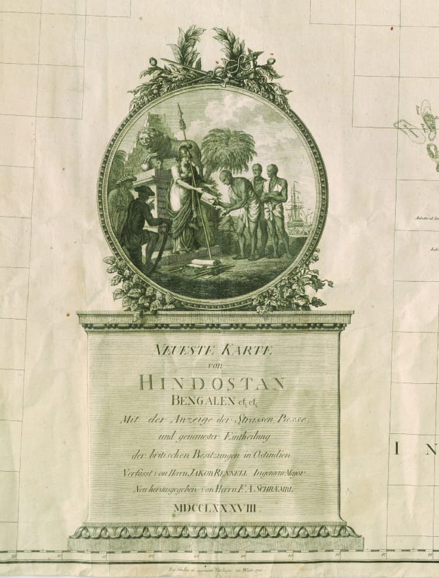
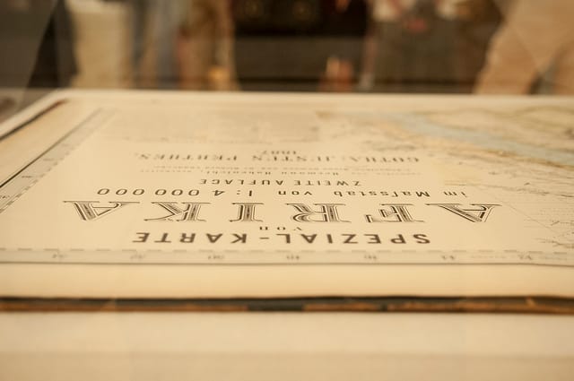
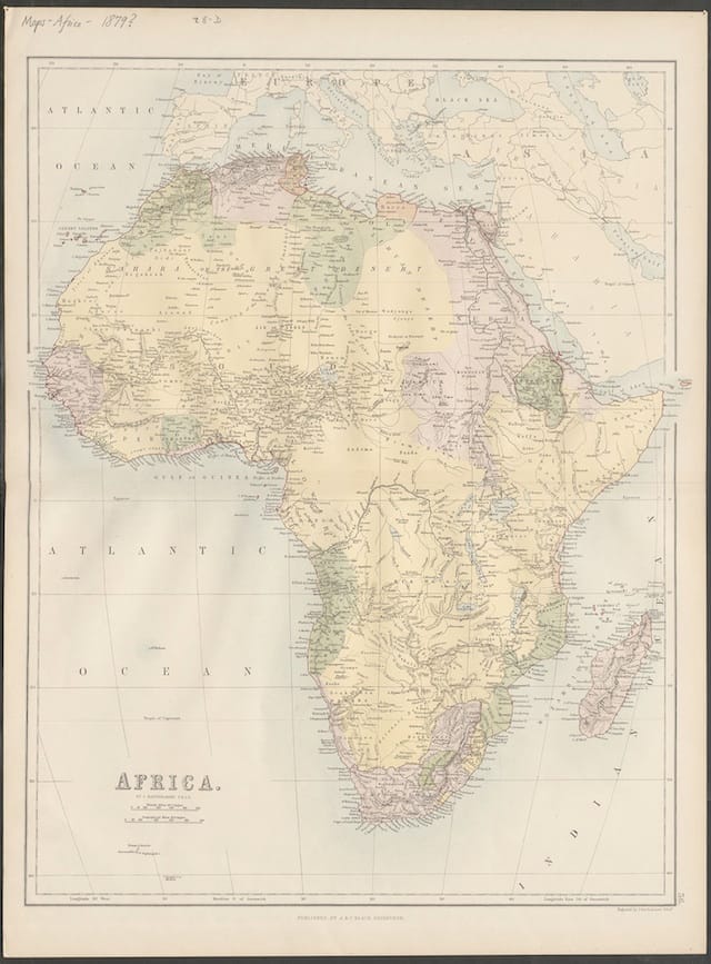
Borders anywhere are all about control, but it’s especially interesting to look at borders that were often nothing more than dashed lines on a piece of paper. Sometimes these colonial expansion maps were also aimed at instilling a sense of possession in citizen’s heads back home, such John Lodge’s “new” map of Africa (which didn’t have much new information on it at all). The map was cheaply and widely mass-produced so that every British citizen could have the idea of Africa as visual ownership in their heads, filling a void of an idea with a consciousness of vast space. And space-filling was often key, even if they didn’t quite know what was there. Rather than leave a map blank, there was often a bit of geographical guessing, a more modern version of the “here be dragons” warning of the unknown.
In one infamous incident, a whole mountain range called the Mountains of Kong supposedly found in West Africa in 1797 by explorer Mungo Park never existed at all, yet reappeared on maps through the 19th century. Part of the problem was that the maps were never the work of one cartographer, but rather a compilation of ideas and reports back (curiously, the colonists rarely used information from locals who’d lived in the territories for generations, although there were exceptions). Other times, the land was a mystery as a competing colonizer used the suppression of information as a way to keep control.
Throughout the selected materials, all beautiful maps curated by the undergraduates from Duke University’s David M. Rubenstein Rare Book & Manuscript Library, there’s this idea that an idea of a place is as essential as the place itself in this relationship between empires and their maps. Even now, maps are still a tension of space — see China’s recent map war with putting the disputed Spratly Islands on their new passports, never mind that they’re one of six countries that have a claim on the archipelago — as an empire is nothing without its managed territory.
Defining Lines: Cartography in the Age of Empire is at the Nasher Museum of Art (Duke University, Durham, North Carolina) through December 15.